


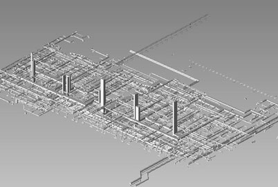
AutoCad Design provides GIS (Geographic Information System) services for a wide range of companies including transportation, telecommunication, mining, municipal and utility sectors.
Benefits:
The reach of GIS fluctuates from tackling problems ranging from prioritizing sensitive species habitats to determining optimal real estate locations for new businesses. GIS can be used for urban infrastructure planning, water resource mapping and monitoring, civil engineering mapping, contour mapping and detailed forest mapping.
The array of GIS services rendered by AutoCad Design includes:
| Aerial triangulation/Stereo Orientation | Water Resource Mapping and Monitoring | District Planning (Maps, Census Maps, etc.) | ArcView Applications Development | Contour Mapping (Digital Elevation Models) |
| GIS Mapping related to local area planning | Spatial Analysis & Modeling | Data Automation & Integration | Geo-referencing | Civil Engineering Mapping |
| Parcel Mapping | Land use mapping | Geo-coding of databases | Photogrammetry | Feature Extraction |
| Urban Infrastructure Planning | Custom Mapping | Contour Mapping | Detailed Forest Mapping | Flood Interpretation |
| Geo Engineering Survey | Geo Engineering Survey | Irrigation Management | Utility Mapping | DTM generation |
We can convert any file to standard GIS formats including MapInfo, Surfer or ESRI.
Our cutting edge technologies, unbeatable prices and customized solutions make us one of the leading global providers of GIS services for all their GIS Projects. Our precise and accurate GIS Maps conversion spell savings in time and money.
Click here to Get a Quote